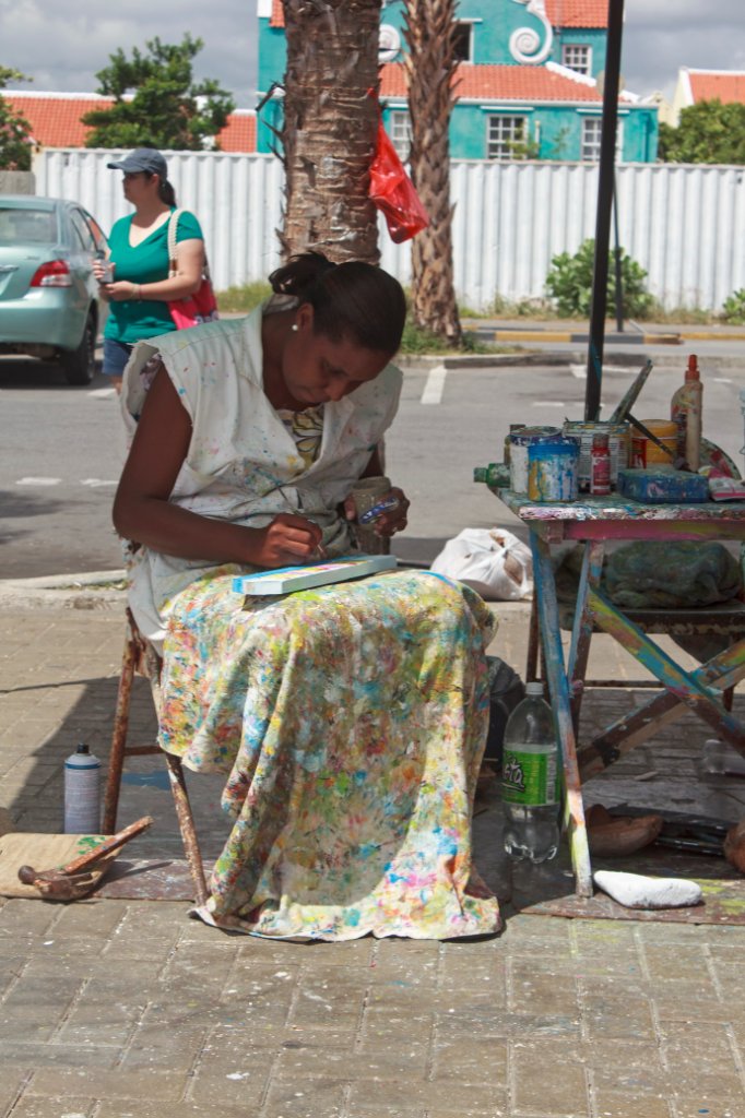
Up Ron & Marjolijn's holiday pictures » 2013-01 Curaçao Prev Next Slideshow

 Previous image  Next image  Index page  Original Image [31-Artist.jpg - 921kB]
17-Old Shell clubhouse Brakkeput
19-Spaanse Water from old Shell clubhouse Brakkeput
20-The Hyatt Regancy Hotel at Santa Barbera Beach
21-The Hyatt Regancy Hotel at Santa Barbera Beach
22-Sailing again after 54 years on Spaanse Water
24-The Columbus straat in Willemstad
25-Wilhelmina park
26-A shop near the Da Costa Gomezplein
27-Da Costa Gomezplein
28-The pontjes brug
29-The harbour entrance
30-The new cruise jetty
  31-Artist.jpg - Artist  
32-Rastafari
33-Otrabanda
34-Punda from Otrabanda
35-In the new cruise terminal
36-The New Harbour from Fort Nassau
37-Negropont and Emmastad from Fort Nassau
38-Looking west from Fort Nassau
39-Fort Nassau and the restaurant
40-Koningin Juliana brug
41-Marjolijn in front of Savonet Manor
42-The north cost at Boka Grandi
43-Sint Cristoffel hill

Artist Download Original Image
Latitude: N 12°6'22,00" | Longitude: W 68°56'11,05" | Altitude: 2 metres | Location: Otrabanda | Country: Curaçao | Copyright: Ron Harkink | See map
Total images: 77 | Help